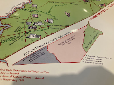
Maps are important, as some spots have gone by different names. For most of this blog we'll refer to the 1918 Smithfield US Geological Survey topographic map.
Garmin Active Captain is a good modern day reference for the waterways.
Virginia Historical Topograhic Maps
Isle of Wight County Before Partition


No comments:
Post a Comment